

Device localization with GPS, UWB, BLE, and sensor fusion
ZedIoT helps teams choose and integrate GPS, UWB, BLE, RFID, and sensor fusion so location data becomes a reliable workflow for assets, vehicles, personnel, and field operations.

Start with the location decision the team must make
A practical localization project begins with the operational decision: find an asset, prove a handover, dispatch a vehicle, trigger a safety alarm, or understand utilization. The signal technology comes after that.
Accuracy must match the action
A vehicle route, a warehouse zone, and a tool cabinet check all require different accuracy, refresh rate, and evidence.
Coverage depends on the site
Indoor anchors, gateway placement, metal racks, outdoor gaps, walls, and weak network areas affect the final design.
Battery and installation decide scale
The best tracking design is maintainable by field teams, not just accurate in a lab test.
Location must update a workflow
The valuable output is a status, alarm, dispatch task, handover record, or search result in the system operators use.

Use the right signal mix for each asset and site
Localization is rarely one technology everywhere. ZedIoT compares the physical environment, required accuracy, object value, installation cost, network conditions, and business systems before recommending the mix.
GPS / GNSS
Outdoor vehicles, mobile assets, route records, geofence alerts, and wide-area service operations.
Trip, geofence, route, and arrival events.UWB
Indoor high-value assets, forklifts, people safety zones, and locations that need precise coordinates.
Zones, coordinates, movement history, and safety alarms.BLE
Presence checks, lower-cost tags, mobile-app assisted workflows, and proximity-based operations.
Nearby, zone, dwell-time, and coarse location states.RFID
Identity confirmation, doorway reads, batch inventory, dock-door handover, and low-cost item labels.
Read confirmation, handover, inventory, and exception events.Sensor fusion
Projects that need GPS, UWB, BLE, IMU, gateway status, and business rules to work together.
Stable asset state and confidence scoring.From physical position to trusted business status
The architecture connects object identity, signal events, edge processing, platform rules, and business systems. The customer sees a useful state, not raw radio data.
Tracking objects
Assets, vehicles, tools, carts, people, or containers are grouped by value, movement pattern, and operating risk.
Signal design
GPS, UWB, BLE, RFID, IMU, gateway data, and battery strategy are selected around the required decision.
Edge and platform
Gateways normalize events, apply local rules, and send location states to maps, alarms, dashboards, and APIs.
Business action
The final output becomes a search result, dispatch task, maintenance record, handover, safety alarm, or utilization report.
Where localization creates measurable operational value
The strongest projects connect location to a measurable action: faster search, safer zones, better utilization, cleaner handover records, or more reliable service dispatch.
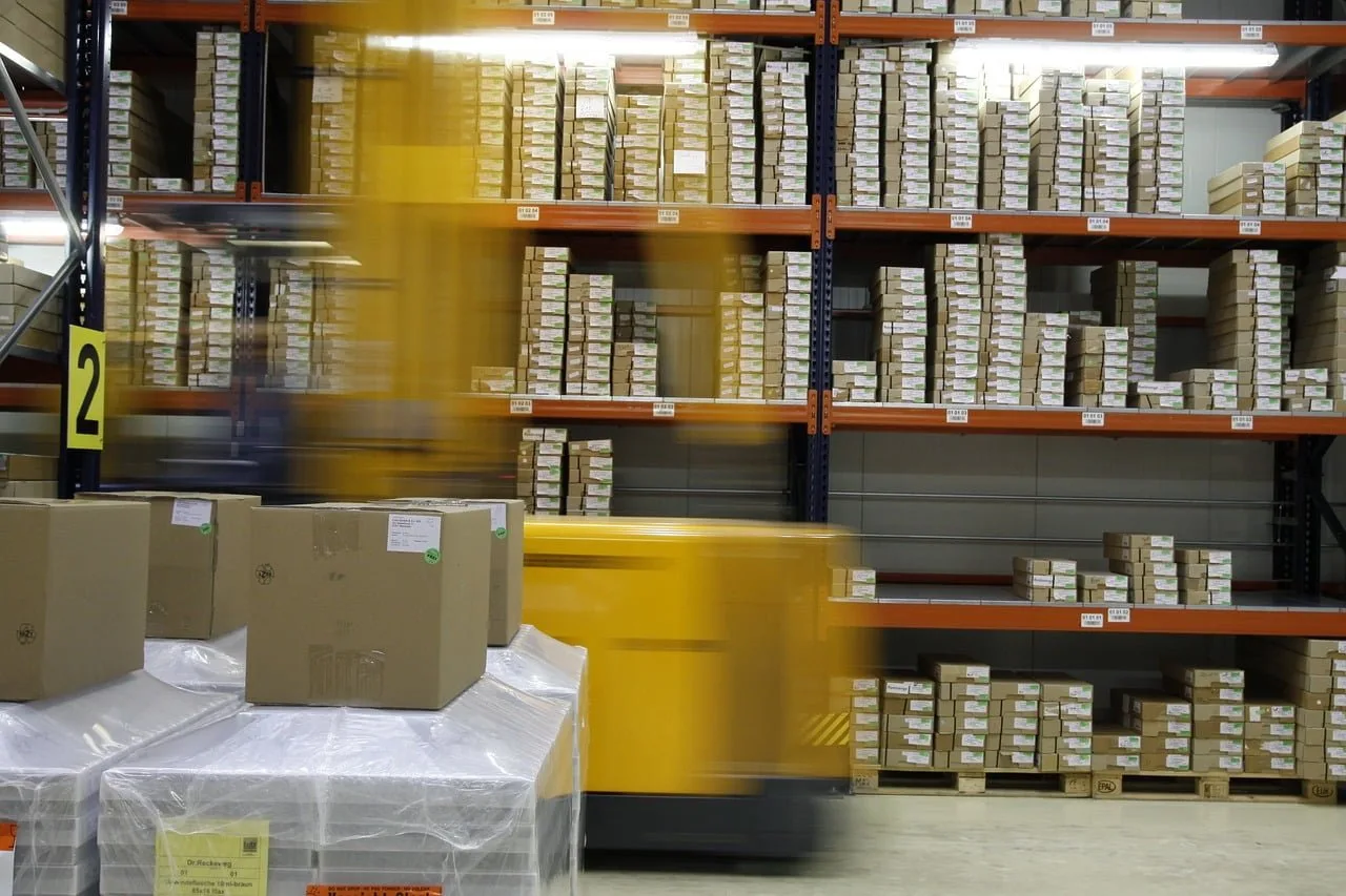
Logistics and warehouse movement
Track pallets, carts, forklifts, dock-door handovers, zone dwell time, and exceptions that must update WMS or ERP records.

Fleet and field service
Use GPS, geofencing, route history, and service dispatch status for vehicles, mobile equipment, and remote work orders.
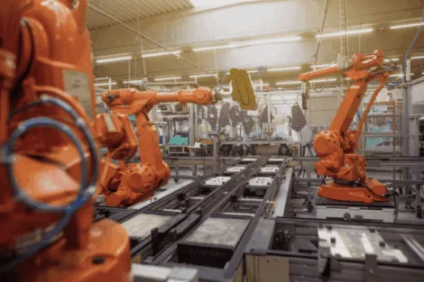
Factory equipment and tools
Combine UWB, RFID, gateways, and asset records for fixtures, molds, tools, mobile devices, and production-area movement.
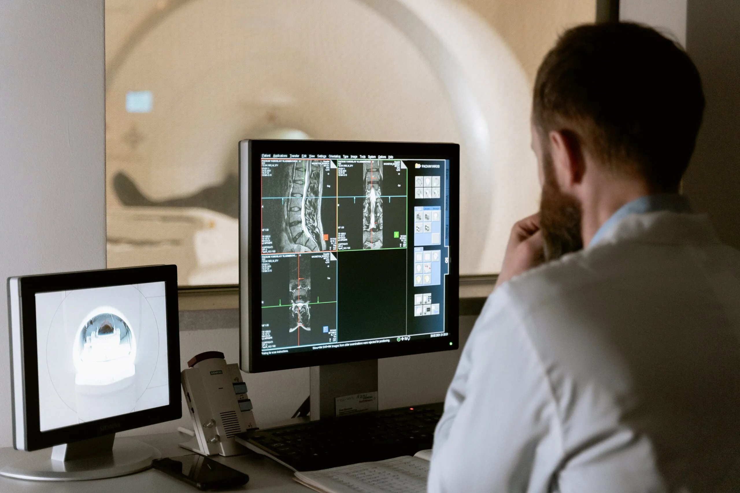
Healthcare and service assets
Locate mobile medical assets, shared service devices, and critical kits while keeping event history visible to operations teams.
A localization project should prove one critical workflow before scaling
The pilot should be small enough to validate quickly and concrete enough to prove accuracy, reliability, exception handling, and business-system fit.
- 01
Define the decision
Clarify whether the business needs search, route, geofence, safety, utilization, handover, or maintenance evidence.
- 02
Survey the site
Review maps, materials, network, power, installation locations, and interference before choosing tags or anchors.
- 03
Prove the signal mix
Pilot one workflow with representative assets and measure accuracy, latency, battery, and exception behavior.
- 04
Connect operations
Turn location events into dashboards, alarms, reports, mobile actions, and WMS, ERP, CMMS, or ticket updates.
Questions before starting a localization project
These answers help teams decide whether GPS, UWB, BLE, RFID, or a hybrid design is the right first pilot.
How do we choose between GPS, UWB, BLE, and RFID?
Start from the decision that location must support. GPS fits outdoor routes and geofences, UWB fits precise indoor zones, BLE fits lower-cost proximity, and RFID fits identity and handover records.
Can one localization system combine several signals?
Yes. Many deployments combine GPS, UWB, BLE, RFID, gateway status, and sensor data so the platform can produce a stable asset state instead of exposing raw signal noise.
What should a localization pilot prove first?
A pilot should prove one representative workflow, required accuracy, installation constraints, battery behavior, exception handling, and the system that receives the location event.
Can localization events connect to existing business systems?
Yes. Location events can update dashboards, WMS, ERP, CMMS, work orders, safety alarms, reports, mobile apps, or customer-owned platforms through APIs.
Plan a device localization pilot
Share the asset types, site layout, accuracy target, current systems, and the location decision you need to support. We will help define the signal mix and pilot scope.
- AI + IoT product architecture review
- Hardware, firmware, cloud, and application integration
- Prototype planning and production support